


IT-229

SityTrail - itinéraires balisés pédestres
Tous les sentiers balisés d’Europe GUIDE+
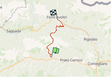

Length
14.1 km

Max alt
2189 m

Uphill gradient
1383 m
Km-Effort
33 km

Min alt
846 m

Downhill gradient
1411 m
Boucle
No

Signpost
Creation date :
2022-02-14 21:40:00.263
Updated on :
2022-02-28 13:28:19.44
7h25
Difficulty : Difficult

FREE GPS app for hiking
 SityTrail
IGN / Geographical institutes
SityTrail Plus
The world is yours!
About
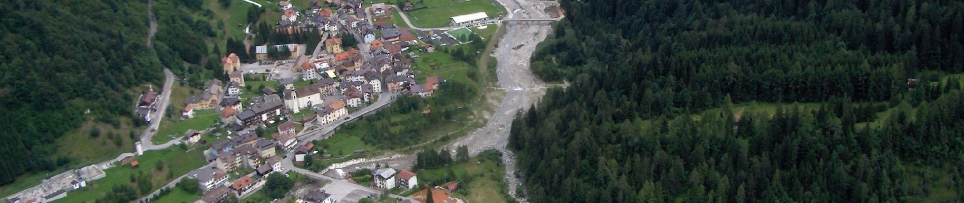
Trail On foot of 14.1 km to be discovered at Friuli Venezia Giulia, Unknown, Prato Carnico. This trail is proposed by SityTrail - itinéraires balisés pédestres.
Description
Trail created by Club Alpino Italiano.
Symbol: red white red 229
Photos


Positioning
Country:
Italy
Region :
Friuli Venezia Giulia
Department/Province :
Unknown
Municipality :
Prato Carnico
Location:
Unknown
Start:(Dec)
Start:(UTM)
328573 ; 5154769 (33T) N.
Comments